

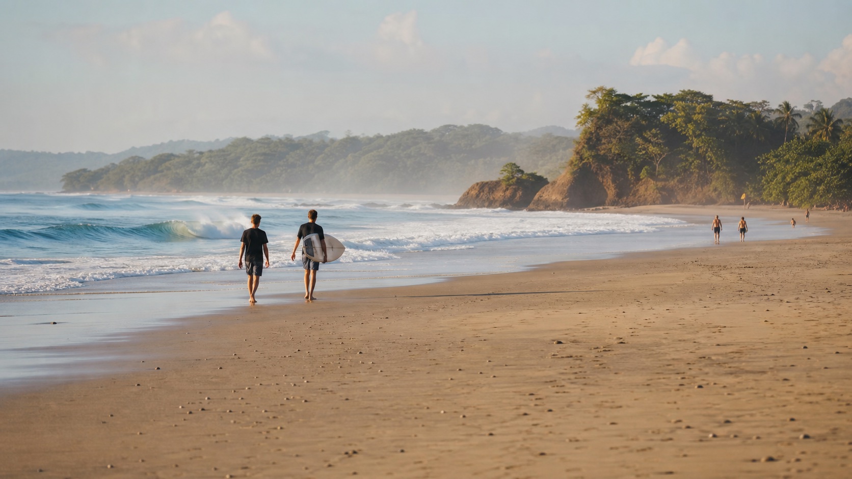
Playa Santa Teresa is a long Pacific surf community rather than a compact town center. The beach, main road, cafés, accommodation and steep inland lanes stretch across several zones, so the exact pin of your stay can shape the trip more than a generic hotel category.
This Bimba local guide helps you choose the right area, plan safe beach and surf time, understand the dry and green seasons, and move without crossing the whole corridor unnecessarily. Live ocean, weather, business and road conditions should always be checked close to the day.
Quick Answer: Is Playa Santa Teresa Worth Visiting?
Yes—Playa Santa Teresa is an excellent fit for travelers who want Pacific surf, long beach walks, sunsets, independent restaurants, yoga and an outdoors-first routine. It is less suitable for someone expecting a paved, compact resort town with calm swimming water, continuous sidewalks and effortless door-to-door movement.
The smartest first decision is not which hotel looks best. Choose the zone and the position relative to the main road: beachfront or walkable flats for easier beach access, central roadside for food and activity, or hillside for views and quiet with a more demanding return. Save the exact pin before booking.
Allow at least three full days if the goal is to settle into the local rhythm; five or more days gives room for changing surf, rain and a regional day trip. Plan each day by area rather than repeatedly traveling between Mal País, Playa Carmen, central Santa Teresa and Playa Hermosa.
Where Is Playa Santa Teresa?
Playa Santa Teresa lies on the Pacific side of Costa Rica's southern Nicoya Peninsula in Puntarenas Province, north of Mal País and Playa Carmen and south of Playa Hermosa. The name can refer to the beach itself, the settlement along it, or the wider destination marketed together with neighboring zones.
That naming overlap creates booking mistakes. A property labelled ‘Santa Teresa’ may sit well north or south of the point you imagined, or several steep minutes inland. Map the entrance—not only the postal label—and ask the host for walking time, road surface, lighting and elevation.
The Instituto Costarricense de Turismo includes Playa Santa Teresa in its official Puntarenas destination resources. For arrival routes from San José, Liberia, the ferry and Cóbano Airport, use the dedicated how to get to Santa Teresa guide rather than compressing a multi-stage transfer into this destination overview.
Understand the Layout Before Booking
The coast works like a long ribbon. The beach runs roughly parallel to the main road, with businesses and lodging between them and side roads climbing inland. Short distances on a map can feel longer in heat, rain, darkness or loose roadside conditions.
Beachfront does not always mean silent: waves, neighboring venues and access paths create their own sound. Roadside can be convenient but busier. Hillside can be peaceful and scenic, yet the last 500 meters may be the hardest part of every return. Ask for current conditions rather than relying on an old review written in a different season.
A useful test is to imagine the 8 p.m. return after dinner. Would you happily walk it? Is the road lit? Is it steep? Will you have a confirmed vehicle? The right accommodation solves the repeated everyday journey, not only the arrival photo.
| Position | Main advantage | Trade-off to verify |
|---|---|---|
| Beachfront or beachside flat | Fast beach access and fewer road crossings | Price, wave/venue noise, security and exact entrance |
| Near the main road | Restaurants, shops and transport nearby | Traffic, dust or road noise |
| Hillside | Views, privacy and quieter setting | Steep access, rain, vehicle class and night return |
| Northern edge | Quieter rhythm and Playa Hermosa access | Longer trips to central food and nightlife |
| Southern edge | Playa Carmen and Mal País access | Different beach character and distance from northern breaks |
Which Santa Teresa Area Fits Your Trip?
Central Santa Teresa works well for a first visit when you want food, surf access and services within a relatively concentrated daily zone. It can feel active and busy, especially near the main road. Confirm whether your room faces traffic or sits behind vegetation.
Playa Carmen, toward the south, can suit visitors who want access to both Santa Teresa and Mal País and prefer a broad mix of lodging and services. Playa Hermosa, north of central Santa Teresa, often appeals to travelers seeking a quieter beach-centered stay, but the distance to central evenings becomes part of the plan.
Mal País has a more spread-out, rocky-coast character in places and is the relevant base for tide-pool planning. It should not be treated as merely another name for central Santa Teresa. The Mal País tide pools guide explains why tide and swell matter more than a fixed clock time.
| Area | Often suits | Confirm before booking |
|---|---|---|
| Central Santa Teresa | First-time visitors, surf/food access, active atmosphere | Road noise, exact beach entrance and parking |
| Playa Carmen | South-corridor access, mixed budgets, Mal País connection | Daily distance to chosen surf break |
| Playa Hermosa | Quieter beach routine and slower stay | Transport to central dining and current road access |
| Mal País edge | Rockier coast, fishing-village character, tide-pool plan | Swimming/surf conditions and exact location |
| Hills above any zone | Views, privacy, longer stays | Gradient, 4x4 need, rain and safe return |
Santa Teresa, Mal País and Hermosa Beach Directory
The coastline is easier to understand from south to north. Names overlap: some refer to official beaches, others to access zones or surf breaks. Use the linked map search as a starting pin, then follow public signs and current local instructions. Never cross private property or treat an unmarked track as public access.
Ocean notes below describe character, not a live safety guarantee. Tide, swell and sandbars change. A spot known for gentler conditions can still be unsafe on another day, and a surf-break name is not a recommendation for an inexperienced swimmer or surfer.
| South to north | Where locals mean | Useful access orientation |
|---|---|---|
| Playa Cuevas / Los Suecos | Small cove at the far southern end beyond Mal País, beside the Cabo Blanco marine area | Search Playa Cuevas; about 1 km south of Playa Mal País. Final road can require 4x4; small parking then roughly 75 m trail |
| Playa Mal País / Fishermen's Beach | Rockier coast and the local fishing-boat launch at the southern end of the Mal País road | Search Playa Mal País; continue south from the Playa Carmen crossroads toward the fish market/boat area |
| Playa Mar Azul | Small Mal País cove and named surf point north of the fishing end, south of Playa Carmen | Search Playa Mar Azul; look for the signed side entrance from the Mal País road and verify parking locally |
| Playa Carmen | Broad sandy transition zone around the main Mal País–Santa Teresa crossroads | Search Playa Carmen; start at the central crossroads, then use a clearly public beach-access lane |
| Playa Santa Teresa – central access | The sandy coastline immediately north of Playa Carmen; locals may distinguish access points rather than call every section by one name | Search Playa Santa Teresa; one long-established central reference is the access near the Brunela area |
| La Lora | A well-known sandy beach and surf zone in central-to-northern Santa Teresa | Search La Lora; access comes west from the main road near the locally known La Lora area. Parking status can change |
| Rocamar / Suck Rock | Rocky point and advanced surf reference at the north end of the La Lora stretch | Search Rocamar; approach via public access serving the north end of Santa Teresa, not across private beachfront land |
| Playa Hermosa de Cóbano | Long beach north of Santa Teresa; not Playa Hermosa in Guanacaste or near Jacó | Search the full name Playa Hermosa de Cóbano; use a signed public entrance and verify which access your accommodation means |
| Playa Manzanillo | Coastal village and beach farther north beyond Playa Hermosa | Search Playa Manzanillo de Cóbano; treat it as a separate outing and confirm current road conditions |
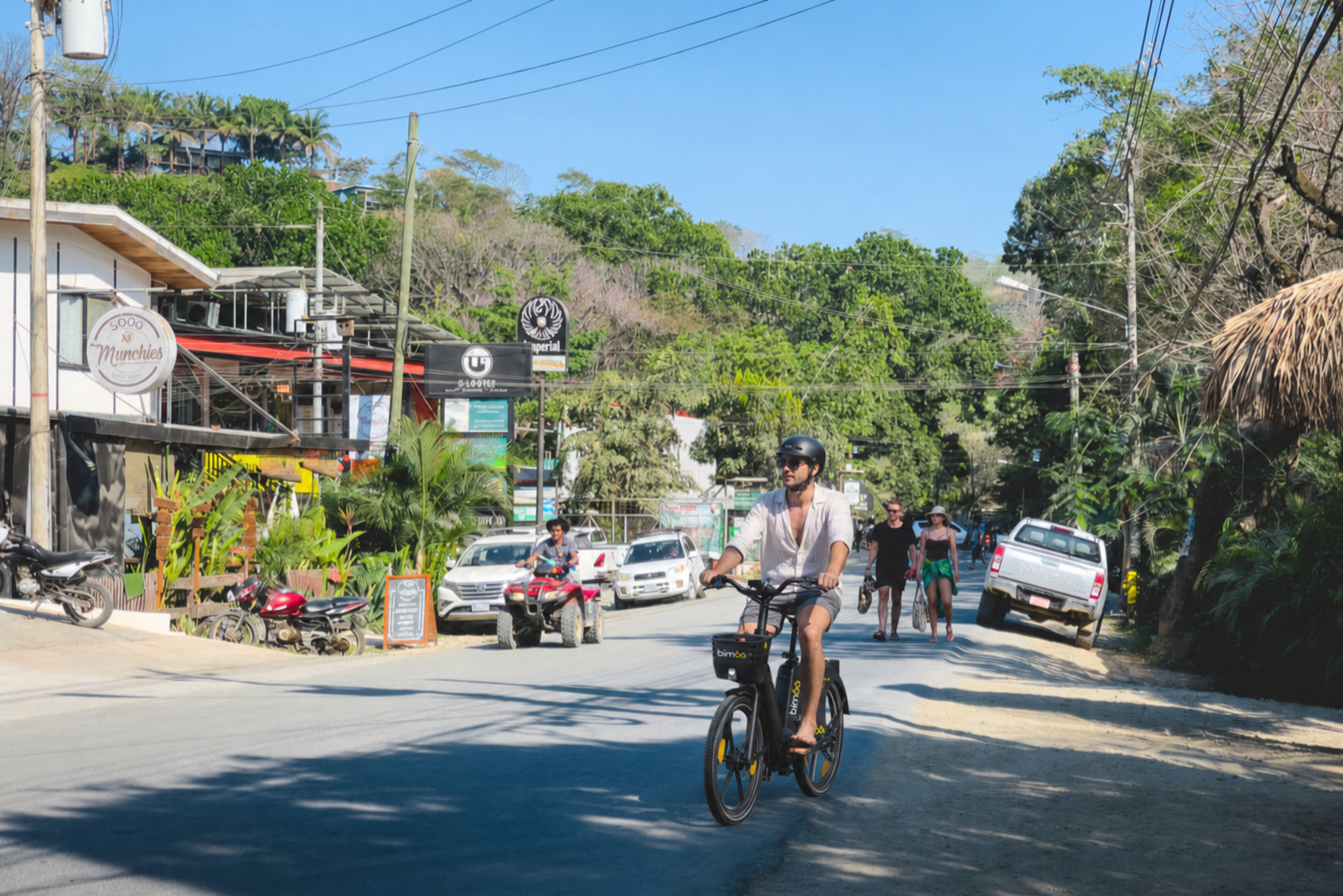
Where to Park a Bimba for Each Beach
A Bimba ride must end at an approved parking point shown in the live app—not at an arbitrary beach entrance. The recommendations below cross-reference the current 25-location website directory with the coast from south to north. They are useful area anchors, but the app remains the source of truth because service boundaries, eligible end points and availability can change during the day.
After ending the ride, confirm that the app shows the trip as closed, leave the vehicle upright in the indicated area and walk to the beach through a clearly public access. Never park on sand or block a path, doorway, driveway or accessibility route.
| Beach zone | Recommended Bimba parking anchor | Local guidance |
|---|---|---|
| Playa Cuevas / Los Suecos | No Bimba endpoint recommended | The cove is beyond the southern station network and the final road may require a 4x4. Use suitable transport. |
| Playa Mal País / Fishermen's Beach | Delizie Italian Bakery & Kitchen, if offered in the app | Bimba's southernmost listed business point. Confirm the remaining walk before ending; it is an area anchor, not beach parking. |
| Playa Mar Azul | Creativo ART Center, subject to the app | This listed point is north of Mar Azul. Check the remaining distance, daylight and public access first. |
| Playa Carmen | Lapoint Surf Camp, Liam's Place or The Bakery | Choose the currently approved point nearest your intended public access. Liam's Place is a physical dock near The Bakery. |
| Central Playa Santa Teresa | Uma Beach Club, Rico's, Satori or Good Munchies | These serve the central cluster. Pick the in-app point nearest the public access you plan to use; Rico's is a physical dock. |
| La Lora | La Rosas Coffee Bar, Don Jon's or Namoré | Namoré is a physical dock. Confirm the separate public La Lora access before walking west. |
| Rocamar / Suck Rock | Somos, Gula, Ani's or Muzza | These are the northernmost listed anchors; Somos is a physical dock. Use a public route to the coast. |
| Playa Hermosa de Cóbano | No current Bimba website location listed | The published network ends in northern Santa Teresa, south of Hermosa. Do not assume the service area reaches the beach. |
| Playa Manzanillo de Cóbano | No current Bimba website location listed | Manzanillo is farther north; use suitable transport with a confirmed return. |
Bimba parking network · Beach orientation
Beaches and Bimba stations on one map.
Yellow numbered pins are Bimba parking locations. Dark beach labels identify the coastline from Playa Cuevas in the south to Playa Manzanillo de Cóbano in the north. A beach label is not an approved return point: choose an eligible station in the live Bimba app, finish the ride there, then walk through a public beach access.
 01Bimba parking location
Café & food stop
Gula
Approved Bimba parking · Santa Teresa, Costa Rica
Pause your Bimba here for an easy café stop before continuing along the coast.
- What you’ll find
- Coffee, breakfast and casual food in North Santa Teresa.
- Good for
- Breakfast · coffee · post-surf stops
- Bimba parking
- Pause or end your ride at this approved location
Bimba stations across Santa Teresa25 places to park in Santa Teresa, Playa Carmen and Mal País
Parking locations, north to south
The list follows the coast from north to south. Select a location to see details and directions.
Continue south through all 25 locations +
Playa Cuevas or Los Suecos
Playa Cuevas and Playa Los Suecos are two names for the same small cove south of the Mal País fishing area, close to the Cabo Blanco protected marine environment. Visit Costa Rica places it about one kilometer from Playa Mal País and describes a small parking area followed by an approximately 75-meter path.
The final road has been described by the official tourism source as poor enough that a 4x4 is preferable. Conditions can change after rain, so confirm before leaving and do not take a shared vehicle outside its permitted area. The cove is associated with gentler water and snorkeling at low tide, but rock, tide and swell still require on-site judgment.
Carry water and take all waste away. Do not enter caves or rocky edges when waves reach them, and do not confuse proximity to Cabo Blanco with a legal park entrance from Mal País; the established terrestrial reserve entrance is on the Cabuya side.
Playa Mal País and the Fishing Beach
Playa Mal País is not one uniform swimming beach. The southern coast includes rocky formations, small coves, low-tide pools and the local fishing-boat launch. The fishers' area is an easy landmark when asking directions: follow the Mal País road south from the Playa Carmen crossroads toward the end used by boats.
Visit Costa Rica describes the wider Mal País coastline as approximately six kilometers with white sand, rock formations and natural pools visible at low tide. That broad description should not be read as permission to swim everywhere. Check the exact cove and current water.
Respect working boats, equipment and access. Do not park where vehicles or trailers need to maneuver. For tide pools, use the dedicated guide and avoid standing on exposed ocean-facing rocks when swell is active.
Playa Mar Azul
Mar Azul is a named Mal País cove and surf reference between the fishing end and Playa Carmen. Locals will recognize ‘Mar Azul’ more readily than a vague request for a quiet Mal País beach. Map searches place it off the Mal País road via a side entrance; older directions describe roughly two kilometers south into Mal País and then a shorter gravel approach, but current signs and road condition should decide.
The cove combines sand and rock, and the named point is primarily surf information—not a universal family-swimming recommendation. Observe the water and ask locally. Park only where allowed and keep the access open.
Because phone map pins can land on the shoreline rather than the public entrance, use the map to orient, then ask the accommodation or a reputable operator which public access is open that day.
Playa Carmen
Playa Carmen anchors the southern end of the main sandy beach corridor around the central crossroads where the road divides toward Mal País and Santa Teresa. This is the most useful orientation point for a first-time visitor because shops, food and transport are concentrated nearby.
The beach is broad and popular for surfing, lessons and sunset. Conditions vary by tide and swell, so beginners should still let an instructor choose the entry. Avoid assuming that every busy section is supervised or safe for swimming.
When searching maps, include ‘Santa Teresa Costa Rica’ because Playa del Carmen in Mexico dominates generic results. Use a clearly public lane west from the crossroads area and do not block narrow access with a car or ATV.
Central Playa Santa Teresa and La Lora
North of Playa Carmen, the coast is generally called Playa Santa Teresa, but locals often give directions by a specific access or surf zone. The central access near the long-established Brunela reference is useful for orientation; farther north, La Lora is one of the best-known sandy sections and surf breaks.
La Lora's name comes from the locally known La Lora area off the main road. It has a long sandy beach break with multiple peaks. That does not make the whole stretch beginner-safe on every day. Surf competitions and strong conditions are part of its identity.
Parking near beach access has changed over time and may be limited, blocked or informal. Do not rely on an old blog saying you can drive to the sand. Confirm locally, park legally on durable surfaces and leave emergency and resident access clear.
Rocamar and Suck Rock
Rocamar is the local place name commonly used for the north end of the La Lora/Santa Teresa stretch. Suck Rock refers to the powerful rocky surf feature in that area. A local will understand ‘Rocamar’ as an area and ‘Suck Rock’ as a break; they are not interchangeable names for a gentle tourist beach.
This is advanced surf territory when the break is working. Rocks, current and powerful waves make it inappropriate for a beginner choosing a beach by map label. Watch from shore and ask experienced local surf professionals about conditions.
Reach the general Rocamar area through a recognized public access from the main road. Do not cross beachfront properties or climb over gates because a satellite image appears to show a shortcut.
Playa Hermosa de Cóbano
Always say Playa Hermosa de Cóbano or Playa Hermosa near Santa Teresa. Costa Rica has several beaches named Hermosa, including better-known pins in Guanacaste and near Jacó, and a generic navigation search can send a traveler hours away.
This Hermosa is north of Santa Teresa and feels longer, quieter and less commercially dense. Different signed entrances serve different parts of the beach, so an accommodation saying ‘near Hermosa’ should provide the exact access it uses. Do not assume the first pin is closest to your room.
Hermosa is often discussed as an approachable surf area, but live swell, tide and the chosen peak determine suitability. Families and beginners still need local condition checks. Confirm return transport before an evening in central Santa Teresa, because the distance is not a casual night walk for many visitors.
Playa Manzanillo Beyond Hermosa
Playa Manzanillo de Cóbano lies farther north beyond Playa Hermosa and works as a separate half-day or day outing, not another central Santa Teresa access. Include ‘Cóbano, Puntarenas’ in map searches to avoid other places named Manzanillo in Costa Rica.
The coastal setting is quieter and services are more dispersed. Verify the road, fuel, weather and return before leaving, especially in the green season. Do not confuse it with Manzanillo on Costa Rica's Caribbean coast.
Choose transport appropriate for the whole route. Bimba's live service boundary must be checked in the app; a rental contract may also restrict roads or areas. A confirmed car, driver or tour can be simpler for a dedicated northern outing.
Best Time to Visit Playa Santa Teresa
The dry season, broadly December through April, usually brings more consistent sunshine and easier outdoor planning. It also brings stronger demand, higher pressure on accommodation and popular services, more dust on unpaved surfaces and a busier corridor. Book important transfers and preferred stays earlier.
The green season, broadly May through November, brings fuller vegetation, periodic heavy rain and a different pace. Mornings may offer useful outdoor windows, while afternoon or evening storms can change roads and visibility quickly. Rain does not make every day unusable, but it requires a flexible schedule and protected transport backup.
Season labels are not forecasts. Check current weather, road and ocean conditions. September and October can be particularly wet on the Pacific side, but individual weeks vary. If the trip depends on surfing, a specific road or a coastal excursion, use live local information rather than climate averages alone.
| Period | Typical advantage | Planning issue |
|---|---|---|
| December–April | Drier beach days and simpler outdoor scheduling | Higher demand, dust, heat and busier services |
| May–August | Green landscape and mixed weather windows | Rain can alter roads and afternoon plans |
| September–October | Quiet periods and lush surroundings | Heavier rain risk; verify access and closures |
| November | Transition toward drier conditions | Weather remains variable; do not assume |
Playa Santa Teresa Beach: What to Expect
The beach is wide in many stretches and faces open Pacific energy. It is known primarily for surf and sunsets—not guaranteed calm swimming. Sandbars, currents, swell and tide change the usable water and shoreline throughout the day.
A calm-looking patch is not proof of safety. Ask a qualified local surf school, lifeguard where present, or another reliable on-site source about the current entry point and currents. If nobody can confirm conditions, remain conservative. Children should stay within reach near moving water.
At sunset, keep enough light for the walk or ride home. Do not leave phones, passports, cameras or bags unattended while swimming. Bring water and sun protection, and take everything away from the beach when you leave.
- Check tide, swell and local advice on the day.
- Match water entry to actual swimming or surf ability.
- Keep children directly supervised.
- Avoid isolated rocks when waves reach the platform.
- Leave valuables secured elsewhere.
- Plan the return before darkness.
Surfing in Santa Teresa
Santa Teresa's consistent surf reputation is a central reason people visit, but ‘consistent’ does not mean suitable for every surfer at every tide. Beach breaks shift, crowds change and the same section can move from approachable to demanding as swell and wind develop.
A beginner should book a reputable lesson that chooses the break and time for the student's ability, provides a properly sized board and explains currents, right of way and safe fall technique. Do not choose a lesson only by the closest beach pin or cheapest number.
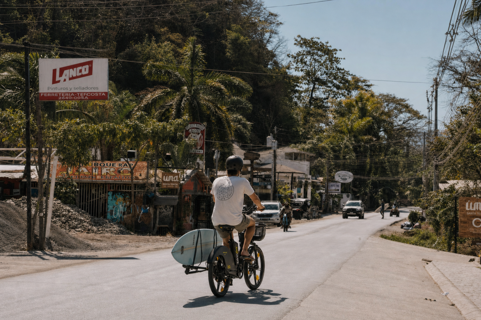
Experienced surfers should still ask for current local context before paddling into an unfamiliar peak. Observe from shore, identify channels and crowd patterns, and avoid treating an old online description as a live surf report. Keep boards secured during transport and never improvise carrying a full-size board on a shared e-bike.
| Surfer | Useful starting plan | Avoid |
|---|---|---|
| First lesson | Qualified instructor, soft-top board, conditions selected for learning | Entering alone because whitewater looks small |
| Improving beginner | Ask for break/tide matched to control and fitness | Following advanced surfers into a crowded peak |
| Intermediate | Observe sets, currents and local etiquette before entering | Assuming yesterday's sandbar is unchanged |
| Advanced | Use live forecast plus direct observation | Underestimating crowd, fatigue or unfamiliar access |

Things to Do Beyond Surfing
A good Santa Teresa itinerary is intentionally light. The destination works best when one or two anchor activities leave space for beach time, weather changes and unplanned local stops. Scheduling multiple cross-town reservations each day creates more road time than enjoyment.
Yoga and movement classes complement the surf-centered routine, but schedules and teachers change. Use the Santa Teresa yoga guide as a shortlist and verify the current class directly. Coffee, breakfast and a few focused work hours can be planned through the local coffee guide.
Other possibilities include a guided nature or horseback experience, a regional day trip, a wellness treatment, a food-focused evening or simply walking a long section of beach when tide and heat allow. Verify the operator, pickup, cancellation terms and environmental practices before booking.
- Sunset with a confirmed return.
- Yoga or mobility class suited to your level.
- Coffee or breakfast in the same area as the day's beach.
- Guided nature or regional experience with current operator details.
- Mal País visit planned around safe tide and swell.
- Live event verified through the organizer on the day.
Food, Coffee and Nightlife
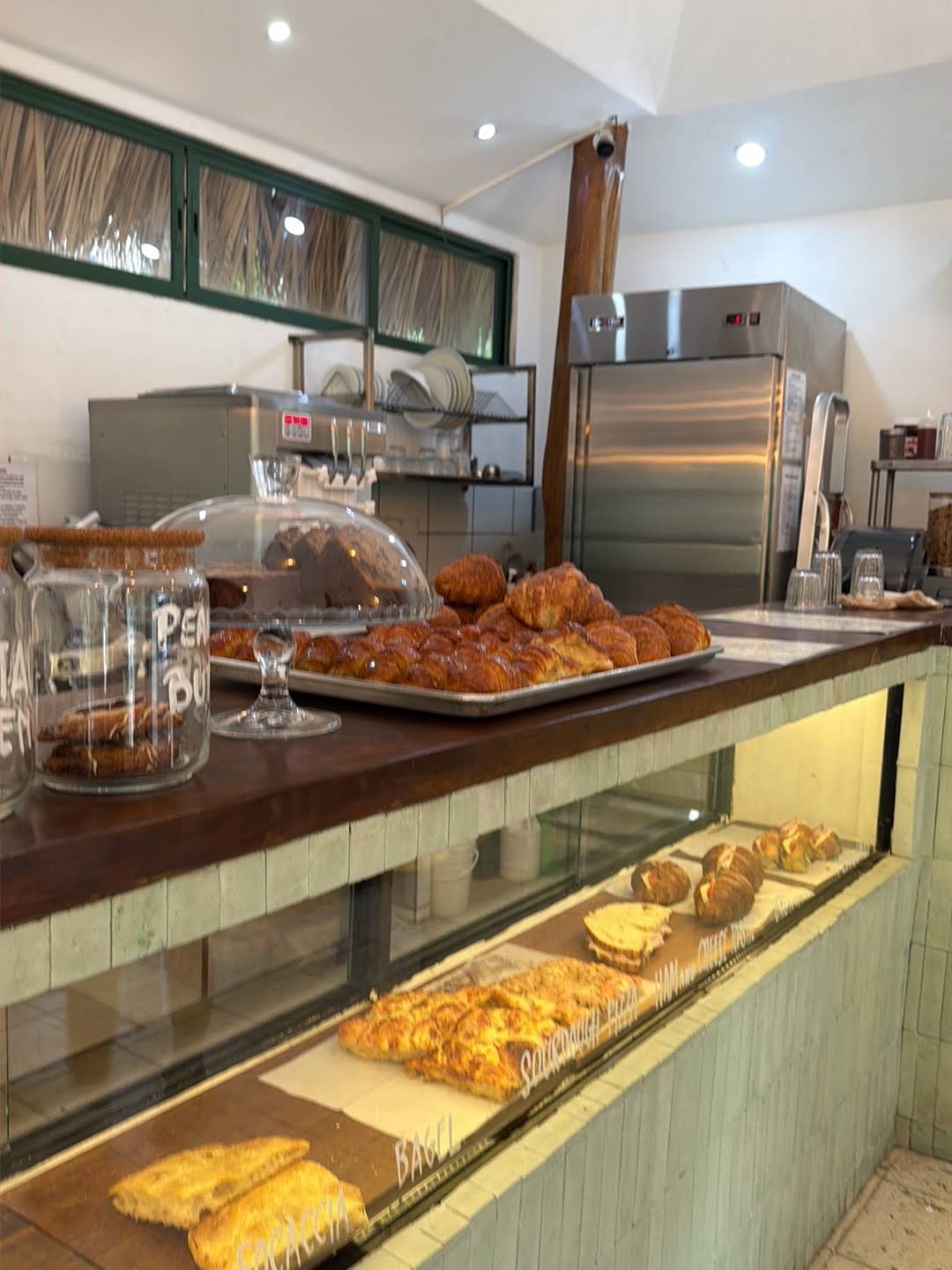
Santa Teresa's food scene ranges from simple local meals and bakeries to international restaurants and destination dining. Opening days, reservation systems and seasonal closures change, so an evergreen guide should help you choose by use case rather than promise a fixed ranking.
For breakfast, prioritize walking distance and opening time. For a special dinner, confirm the exact pin, reservation, payment method and return transport. For remote work, ask about current laptop policy, Wi-Fi and power instead of assuming every attractive café welcomes a long session.
Nightlife varies by weekday and season. Check the organizer's current channel rather than an old event calendar. If alcohol is involved, do not ride or drive; arrange a taxi before the venue becomes busy. The What's On guide explains how to verify live events.
- Confirm today's hours and kitchen closing time.
- Save the exact location—not only the business name.
- Reserve popular dinners directly.
- Ask about cards, cash and service charges.
- Plan a non-riding return after alcohol.
How to Get Around Playa Santa Teresa
Walking works for genuinely short journeys when heat, rain, road edge and darkness are manageable. There is no continuous resort-style sidewalk connecting every zone, so a map's distance alone does not describe the experience.
Bimba can suit an adult rider making a short trip inside the active service area when a vehicle is available, the route and weather are suitable, and approved parking exists. Current Bimba pricing is US$1 to unlock plus US$0.50 per minute, or US$15 for a daily pass with 100 included minutes.
Use a taxi for luggage, rain, darkness, alcohol or an occasional ride; confirm price and pickup pin in advance. Choose an ATV or appropriate car when a verified steep access road, passenger load or regional itinerary requires it. The complete getting-around guide provides the full comparison.
| Trip | Start by comparing | Reason |
|---|---|---|
| Nearby breakfast or beach access | Walk | No vehicle needed when route is truly short and safe |
| Short suitable daytime trip | Bimba | Pay per use or daily pass when live conditions align |
| Dinner, rain or luggage | Taxi | No riding and appropriate carrying capacity |
| Steep repeated access | Suitable ATV or car | Capability must match the exact road |
| Family regional day trip | Car or private driver | Passengers, protection and range |
Where to Stay: A Practical Booking Checklist
Start with the pin. Ask the property to describe the final 500 meters, not merely the neighborhood. Confirm whether walking involves the main road, an unlit lane or a steep climb, and whether a standard car can reach it during your dates.
Then evaluate sound and daily function. Ask whether the room faces the road, a venue, construction or shared social space. Confirm air conditioning or fans, mosquito protection, water reliability, workspace needs, secure storage and cancellation terms.
Finally, price transport created by the location. A cheaper hillside room can become expensive if every meal requires a taxi or ATV. A central room can save transport but cost sleep if road noise conflicts with your priorities. For lower-cost social accommodation, continue to the hostel guide.
- Exact entrance pin and zone.
- Walking time to the beach and preferred daily stops.
- Elevation, surface, lighting and wet-season access.
- Road, venue, construction and shared-space noise.
- Secure parking and board storage.
- Airflow, cooling, screens and backup power/water information.
- Total price, tax, payment and cancellation terms.
- Transport cost created by the location.
Sample Three-Day Santa Teresa Itinerary
Day one should be local and observational. Check in during daylight, walk the immediate area, identify the safest beach access, buy water or essentials nearby and watch sunset without committing to a long cross-town dinner. The first evening reveals how the road, lighting and return actually feel.
On day two, schedule the priority activity—perhaps a surf lesson or yoga—in the morning, when the day is easier to adjust. Eat and recover in the same zone. Use the afternoon for beach time or a weather-flexible option and confirm dinner transport before sunset.
Day three can hold one wider experience: a different beach zone, Mal País under suitable coastal conditions, or a planned regional excursion. Keep the final evening close to the accommodation if departure follows the next morning.
| Day | Anchor | Local planning principle |
|---|---|---|
| 1 | Arrival, immediate area and sunset | Learn the real distances before crossing town |
| 2 | Surf/yoga plus nearby food and beach | Group the day geographically |
| 3 | One wider zone or regional experience | Verify condition, pickup and return |
A Better Five-to-Seven-Day Rhythm
With five to seven days, avoid turning every day into a tour. Alternate active and low-commitment days. Surf, yoga or a regional outing uses more energy and logistics than a beach, coffee and nearby dinner day.
Keep one unassigned weather day. It can absorb a moved lesson, heavier rain or a day when the ocean is wrong for the original plan. This buffer is more valuable than filling the calendar with non-refundable bookings.
If changing accommodation, move only when the second zone produces a genuinely different trip—such as quiet Playa Hermosa after central Santa Teresa—not simply for another room. Packing and transport consume part of the day.
- Two or three anchor activity days.
- Two local beach-and-food days.
- One regional or nature day.
- One flexible weather/recovery window.
- Departure logistics confirmed before the final night.
Budgeting Without Fake Precision
Accommodation and restaurant prices change too much by season, room type and booking date for one universal Santa Teresa daily budget. Build a personal total from live quotes instead of relying on a travel-blog number that may exclude tax, transport or high-season availability.
Separate fixed costs—accommodation, arrival transfer and booked activities—from daily variables such as meals, local trips and extras. Add the cost created by location: taxis from a hill, a car for regional days or board transport.
A practical comparison uses the final amount paid. For lodging, include tax and cleaning or service fees. For activities, include equipment and cancellation terms. For transport, include Bimba unlocks/time or passes, taxi quotes, and rental insurance, fuel and deposits.
| Budget line | Use live evidence from | Often forgotten |
|---|---|---|
| Accommodation | Final booking checkout or direct written quote | Tax, cleaning, cancellation and transport location |
| Arrival | Airline/shuttle/bus/car operator | Bags, board, final transfer and timing |
| Local transport | Bimba app, taxi quote or rental contract | Night/rain fallback, fuel, insurance and deposit |
| Activities | Official operator booking channel | Equipment, transport and cancellation |
| Food | Current menus and planned meal style | Service, tax treatment and cross-town rides |
Safety, Health and Responsible Travel
Ocean judgment comes first. Check conditions, avoid swimming alone in unfamiliar water and do not mix alcohol with swimming, riding or driving. Use sun protection, hydration and footwear appropriate for hot sand, wet rocks and uneven roads.
Keep valuables out of sight, use secure accommodation storage and avoid isolated walks after dark. Share important plans and transport details with your group. Costa Rica's emergency number is 9-1-1; save accommodation and local support contacts offline.
Respect the community that makes the destination possible. Reduce single-use plastic, refill water where safe, keep noise controlled near homes, park without blocking access, avoid wildlife interaction and remove everything brought to the beach. Choose operators that explain environmental and safety practices rather than merely using ‘eco’ as decoration.
- Emergency number: 9-1-1.
- No unattended valuables on the beach or visible in vehicles.
- No riding or driving after alcohol.
- No wildlife feeding, touching or flash harassment.
- No beach driving or blocked public access.
- Carry out waste and respect quiet residential areas.
Common Planning Mistakes
The first mistake is booking by property photos without checking the pin and elevation. The second is assuming Santa Teresa is easily walkable end to end. The third is renting the most powerful vehicle before identifying the route that needs it.
Visitors also overbook surf, yoga, restaurants and day trips without leaving space for weather or fatigue. Another mistake is treating an old list of businesses or events as live information. Verify current operation close to the day.
Finally, sunset is not the end of the plan. Decide how you will return before arriving at the beach or venue. A beautiful final hour is better when it does not end with an uncertain dark-road journey.
- Booking without exact entrance and access notes.
- Crossing the corridor multiple times each day.
- Assuming every ocean section is safe for swimming.
- Learning a powered vehicle in local traffic.
- Relying on stale business hours or event listings.
- Leaving the return decision until after dark.
Playa Santa Teresa Costa Rica FAQ
Is Playa Santa Teresa good for swimming?
It is best known for surf, and swimming suitability changes with swell, tide, currents and the exact section. Ask a reliable local source on the day and remain conservative.
How many days do I need in Santa Teresa?
Three full days is a useful minimum; five to seven days allows a slower beach rhythm, weather flexibility and one regional experience.
Is Santa Teresa walkable?
Individual zones can be walkable, but the wider corridor is long and lacks continuous resort-style sidewalks. Heat, rain, road edge, hills and darkness change the answer.
Which area is best for a first visit?
Central Santa Teresa or Playa Carmen often provides convenient access to food and beach life. The exact pin, road position and elevation matter more than the neighborhood name alone.
When is the best weather?
December through April is generally drier. May through November is greener and wetter, with variable daily windows. Always check a current forecast.
Do I need a car or ATV?
Not automatically. Choose based on the exact accommodation road, passengers, luggage and regional plans. Walk or use Bimba for suitable local trips, taxis for gaps, and rent capability only when needed.
How much does Bimba cost?
Bimba costs US$1 to unlock plus US$0.50 per minute, or US$15 for a daily pass with 100 included minutes. Live availability, service area and approved parking apply.
Is Santa Teresa suitable for beginner surfers?
It can be with a qualified instructor who selects suitable conditions and equipment. Beginners should not enter an unfamiliar break alone based on a generic description.
Is Playa Santa Teresa family-friendly?
Families can enjoy it with careful accommodation, transport and ocean planning. Choose easier access, confirm child seats and do not assume the surf beach is calm swimming water.
Can I visit Mal País and Playa Hermosa from Santa Teresa?
Yes, but treat them as distinct zones. Check distance, road, tide or activity conditions and arrange the return rather than assuming a short walk.
Sources and Final Local Recommendation
This guide was reviewed August 6, 2026. Destination context was checked against the Instituto Costarricense de Turismo's Playa Santa Teresa resource, the official Puntarenas cultural-tourism guide and Visit Costa Rica's travel and safety FAQ. Business hours, weather, ocean and road conditions remain live variables.
Our local recommendation is to choose one daily zone, book by exact access rather than marketing name and leave enough flexibility for the Pacific weather and ocean. Santa Teresa rewards a slower schedule: a well-chosen beach window, one meaningful activity and nearby food usually creates a better day than a packed route across town.
Continue with the best beaches guide, current-events planning guide and transport comparison. These pages own the deeper subtopics so this guide remains a useful destination hub rather than duplicating every article.